Average condition
Elevation: 2150m
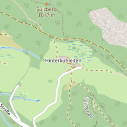
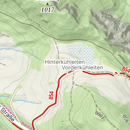
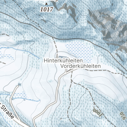
Parking: 46.4025°, 12.1018°
Ferrata: 46.3768°, 12.0641°


Characteristics
The easiest way to one of the highest Dolomite peaks. The Via Normale to the Civetta is insured for long distances and can therefore be considered a separate via ferrata (B). The route is often in the descent of climbers or walkers of the Via ferrata degli Alleghesi, or from the Rif. Torrani made from Via ferrata Tissi as a descent. On the way up, this tour also offers a lot of iron and, in particular, lots and lots of great scenery.
A very long tour from the valley, but there are two huts, one of which is close to the 3000 m border, with the help of which the tour can be divided into stages. Nevertheless, it remains an alpine tour of the Dolomites, which requires good footwear and experience.
Arrival
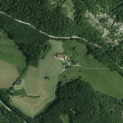
From Cortina d'Ampezzo briefly towards Passo Falzàrego, then left over the Passo Giau to Selva di Cadore. There again left and via Pescul to Palafavera just before Pecol.
From the south: To Longarone and left via Forno di Zoldo and Dont to Pecol, from there a few hairpin bends to Palafavera.
Approach
From Palafavera on a driveway (meanwhile no driving, route 564/556) up to Malga Pioda (1816 m), then ascend left on a hiking trail (still route 556) to Rifugio A. Sonino al Coldai. Follow the path from the hut into a cauldron and turn left on path 557 (Sentiero Tivan) to Porta del Masare, where the short access path to Via ferrata degli Alleghesi branches off to the right (junction: N46.38603 E12.06337). However, you remain on Sentiero Tivan for about 15 minutes until the turn-off to the normal route is displayed on a rock on the right. The first insurances begin after approx. 100 m.
Exit
From the summit via the normal path in the scree to the Rifugio MV Torrani (2984 m). The rest of the descent on Via Normale is largely insured (A to B) and leads over a steep step with ribbons, rubble, slabs and a chimney into a rubble boiler. Keep left there and descend into the rubble to Sentiero Tivan (path 557) and continue via Rifugio Coldai back to the starting point.
Interesting facts
One of the highest peaks in Dolomites - Monte Civetta (3220m). Due to the length and the lack of escape options, only get in when the weather is completely safe.
(Multiple authors)

 © 2026 Ferrata Guide