
Predicting whether..
Elevation: 358m
Parking: 47.0657°, 9.0612°
Ferrata: 47.0673°, 9.0669°







Characteristics
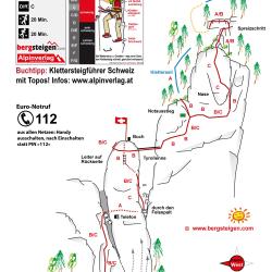
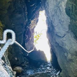
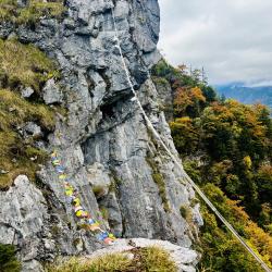
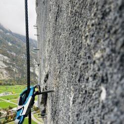
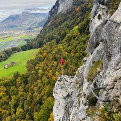
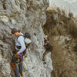
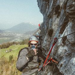
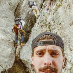
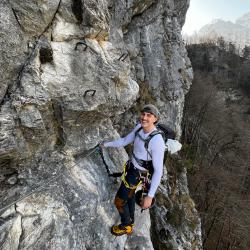
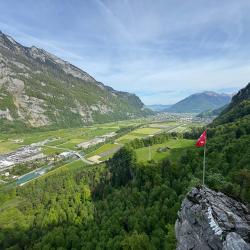
Short but varied climbing with a rocky cleft, a flag, a zip line (with pulley) and a steep final wall.
Arrival
From the A3 motorway, exit 44, direction Glarus. In the village of Netstal turn to the parking lot.
Boarding
From the parking lot, follow the gravel path around a rock in the meadow and then into the forest.
Exit
From the end of the via ferrata, follow the forest path upwards. Continue south on this path, the yellow marked path does not lead back to the car park.
Interesting facts
Rock chasm, zip line.
(Multiple authors)

 © 2026 Ferrata Guide


