Good condition
Elevation: 300m
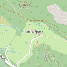
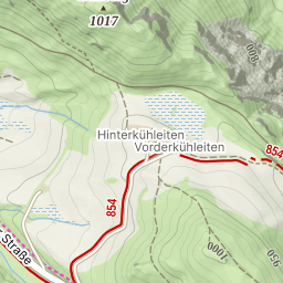
Parking: 45.9118°, 8.4886°
Ferrata: 45.913°, 8.4774°


Characteristics
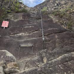
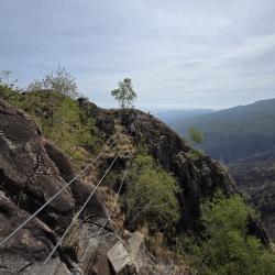
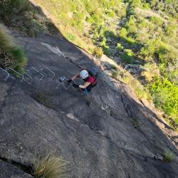
The Picasass via ferrata is a recent, well-equipped via ferrata on excellent granite rock. The ascent is exposed, with a challenging section—an overhanging horizontal traverse to circumvent a steep edge—and the final section allows for a long, thrilling monkey bridge.
Arrival
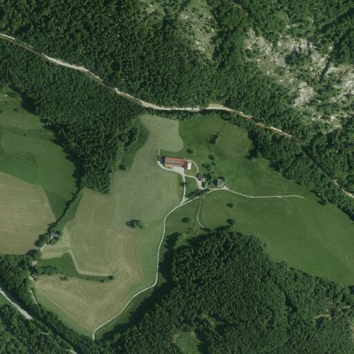
The starting point is Baveno in the province of Verbania. Once in the town, follow signs for the La Tranquilla Campsite. Behind the campground is Via alle Cave, where the hike begins. Look for parking on Via alle Cave or Via Sesena.
There are some parking spots around near the intersection, on both sides of the road and some designated spots. If those are full you can continue up the narrow windy road, slightly further up there is a grassy clearing where multiple cars could park.
Approach
From the parking lot, walk up along the windy road. You will find red and white signs and signs indicating the via ferrata. The signs are pretty good. Go up the road, which is initially asphalted and then becomes a gravel road over the highway. Continue along the road until you reach a fork, where you'll turn right, following the sign for the Ferrata dei Picasass up a rocky road. First you will arrive at a site with some information boards, this is where you will arrive back at the end, but to the start continue straight through and see the sign for the ferrata. The rest is uphill, albeit not steep, until you cross a stream and find another fork. The markings are good here to, you have to take the left path going slightly uphill to reach the start of the via ferrata (45 minutes from the parking lot).
Descent
From the cross on the top, you walk about 10 meters more ahead and on the other side of the boulders, you will see the red whitesign on the rock and a path with a short chain. Head down there and follow the signs back to Baveno, which is about 60mins, the trail is pretty obvious.
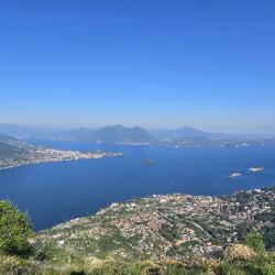
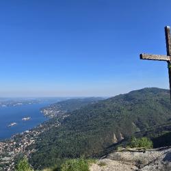
Points of interest
(Multiple authors)

 © 2026 Ferrata Guide